

Subsurface Imaging of Roman Roads Across Europe
Stretching across thousands of kilometers, the Roman road network once connected an empire. Today, much of it lies buried beneath cities, farms, and forests — but advanced subsurface imaging is bringing these ancient highways back into focus.
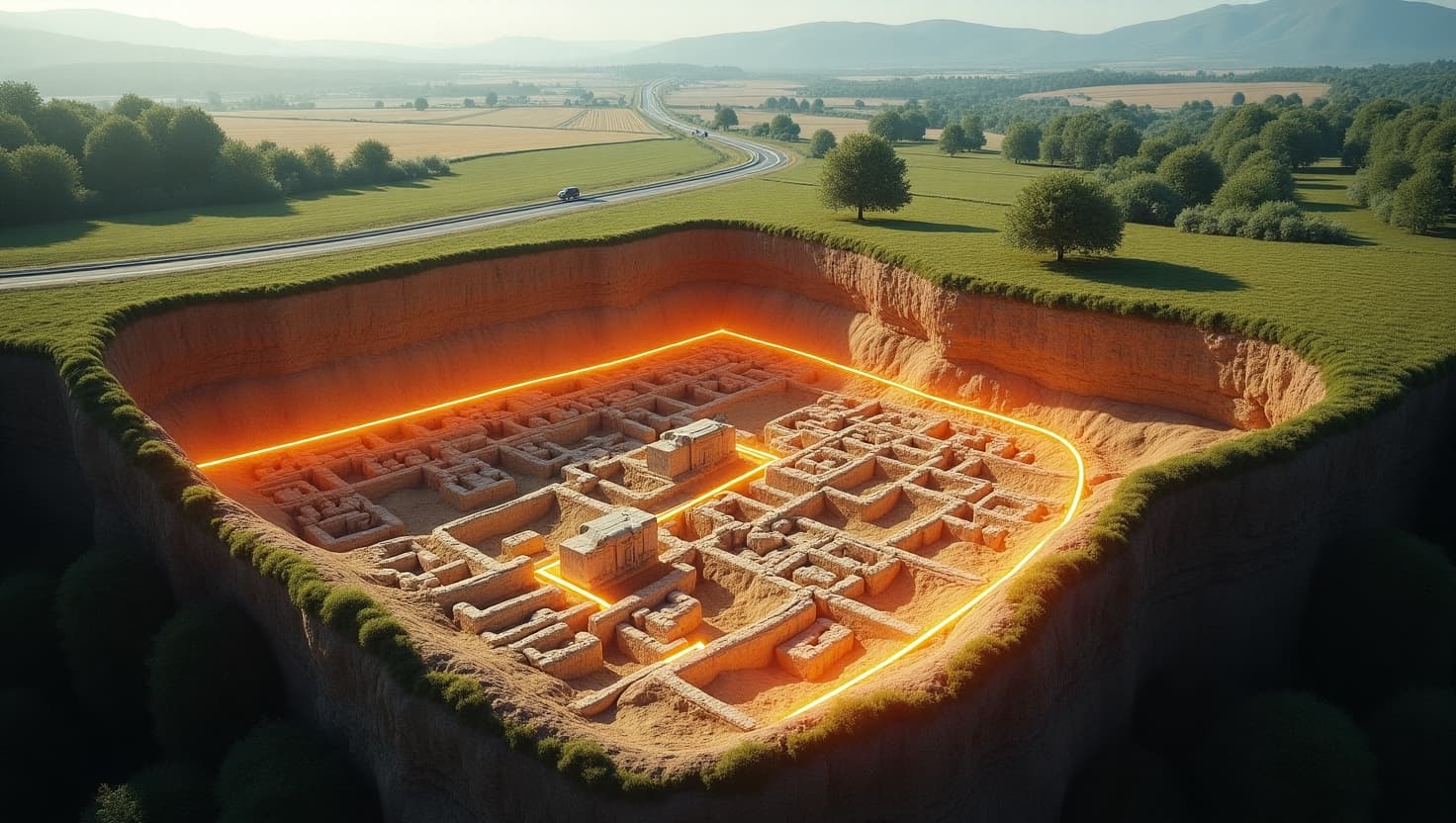
Using technologies like ground-penetrating radar (GPR), magnetometry, and satellite-based synthetic aperture radar (SAR), archaeologists can now map Roman roads without lifting a single stone. These non-invasive tools detect variations in soil, revealing foundations, drainage systems, and even wheel ruts left by ancient carts.
What’s emerging is a richer picture of Roman infrastructure. Roads weren’t just straight lines between cities — they were dynamic lifelines of empire, complete with rest stops, outposts, and integrated water management. Some routes even predate the Romans, suggesting they built over older networks, incorporating local knowledge.
In Britain, Italy, and the Balkans, imaging has uncovered “lost” roads connecting minor settlements, altering our views of trade, military logistics, and regional governance. These roads often ran alongside Roman aqueducts or paralleled early rail lines — a testament to their enduring strategic value.
Beyond the roads themselves, subsurface scans reveal adjacent structures — waystations, shops, cemeteries — offering insights into daily life on the move in the ancient world.
As Europe undergoes rapid development, subsurface imaging also plays a role in heritage preservation. Cities can now plan around ancient infrastructure instead of unknowingly building over it.
Mapping these ancient arteries reminds us that long before GPS, empires ran on stone, sweat, and remarkable engineering.